
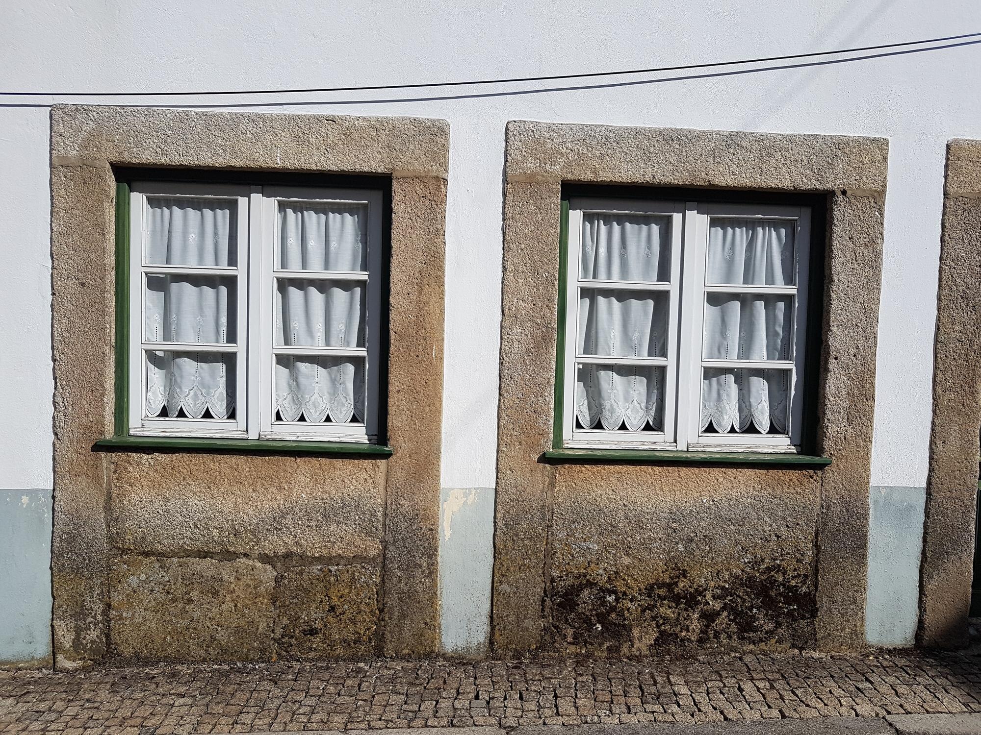
The “Tartarian Empire” is a modern story about a lost, technologically advanced civilization, not a documented empire that ruled the territory labeled Tartary on old European maps. In the story, survivors inherited magnificent buildings after a catastrophe, while the civilization that built them disappeared from official history. Its raw materials are real: unfamiliar maps, windows below pavement, and palaces that look too permanent to have been temporary.
The interesting history lies inside those objects. Following their construction and alteration reveals events stranger, and more specific, than a single vanished empire.
In This Article
- What Old Maps Meant by Tartary
- Who the Tatars and Mongols Were
- What the Mud-Flood Claim Proposes
- Why Domes and Spires Became Evidence
- What Chicago’s White City Actually Was
- How to Read a Building’s History Beyond Photos
- Why the Story Feels Persuasive
- Key Takeaways
- Frequently Asked Questions
- Start With the Map’s Context
What Old Maps Meant by Tartary
European mapmakers used Tartary for large parts of northern and central Asia, with boundaries that shifted between maps. Great Tartary was an umbrella term; Chinese Tartary, Independent Tartary, and Muscovite Tartary divided that space according to different political authorities or the limits of their control.
John Cary put two such divisions directly into the title of his 1806 A New Map of Chinese & Independent Tartary, from the Latest Authorities. Abraham Ortelius’s Tartariae sive Magni Chami regni typus, included in his 1570 atlas, presents a more startling geography: northeastern Asia faces part of North America across the supposed Strait of Anian.
Ortelius was drawing more than the territory of known rulers. Where reliable geographical information ran out, his map supplied a speculative passage between continents. The unfamiliarity is genuine, but some of it belongs to the mapmaker’s imagined coastline.
Who the Tatars and Mongols Were
The name carried its own European invention. Tatar originally referred to particular groups in Inner Asia; Europeans stretched “Tartar” across peoples encountered during and after the Mongol conquests, including people who did not call themselves that.
The extra letter also invited a pun on Tartarus, the underworld of classical tradition. The thirteenth-century chronicler Matthew Paris reported a remark attributed to France’s Louis IX: either the invaders would be driven back into their Tartarus, or they would send the Christians to heaven. Geography had become a threat with a ready-made destination in hell.
The Mongol Empire itself needs no such wordplay to establish its existence. Genghis Khan founded it in 1206, and its rulers and institutions are documented. Its successor states belong to that history, as do the distinct histories of Crimean Tatars and Volga Tatars. These are identifiable communities, not remnants that require a newly discovered global civilization to explain them.
What the Mud-Flood Claim Proposes
The Tartaria conspiracy theory proposes a historical reset: a worldwide mud flood buried cities and destroyed an earlier civilization, after which survivors received an invented past. Versions disagree about when it happened and what caused it. Photographs of doors below sidewalks supply much of the apparent physical evidence.
In nineteenth-century Chicago, the ground really did move in relation to buildings, but through engineering. The city raised streets to improve drainage, and workers lifted buildings on jackscrews so they could meet the new level. In 1861, the occupied Tremont House hotel was raised while business continued inside.
That operation reverses the disaster image. Workers turned screws beneath a building instead of digging survivors out of it. Elsewhere, a low window may belong to a purpose-built basement or a street whose elevation changed. Similar-looking openings can have very different histories.
Why Domes and Spires Became Evidence
Within the Tartaria conspiracy, elaborate rooftops become the surviving apparatus of a lost power network. Some versions imagine spires gathering atmospheric electricity and distributing free energy; ornate buildings become power stations, with their visible decoration recast as machinery.
That interpretation changes what the viewer thinks a photograph contains. A finial stops being an ornament and becomes an electrical terminal. Yet the photograph cannot show whether current flowed, where it went, or what equipment used it.
A dome can cover a large interior, while a spire can mark a religious building or civic landmark. Giving either an additional electrical function requires something more concrete than its silhouette: identifiable components connected into a working system, or technical specifications explaining one. The missing machinery is the central problem, not the extravagance of the roof.
What Chicago’s White City Actually Was
Chicago’s 1893 World’s Columbian Exposition offered an entire monumental complex at once. In photographs, the White City looks like an established capital, its coordinated façades suggesting permanence. That impression makes it useful to stories about inherited cities.
Staff was a plaster-based material often reinforced with fiber. The camera recorded the finished surface, not the distinction between a stone wall and a coating shaped to resemble one.
Staff was vulnerable to weather, and the construction beneath those grand surfaces could be vulnerable to fire. Rain could damage the architectural skin; a fire could damage the buildings. The buildings’ disappearance therefore belongs to their materials and documented construction history, not to the erasure of an unknown population. Their stone-like appearance was part of the fair’s presentation.
How to Read a Building’s History Beyond Photos
Chicago’s Rookery shows how a single address can acquire apparently conflicting architectural identities. Completed in 1888 to designs by Burnham and Root, it received a redesigned light-court lobby from Frank Lloyd Wright in 1905. Wright introduced white marble with gilded decoration, covering parts of the earlier interior.
An image of the later lobby therefore cannot stand in for the building as first constructed. The change was substantial, but it was an alteration, not evidence that the original builders had vanished.
Dated drawings and photographs of the work connect those two appearances. For a less fully documented building, a permit describing an alteration might explain what a later photograph shows; a Sanborn fire insurance map can help establish its footprint and construction characteristics. A missing drawing leaves an unanswered question. It does not supply the missing event.
Why the Story Feels Persuasive
Place a photograph of the Taj Mahal beside one of the Chicago Federal Building, strip away their captions, and the shared dome becomes the point. This imagined pairing reproduces the logic of online collections that group monumental buildings by appearance. The eye gets a connection before the reader gets a date.
Restore the captions and the comparison changes. One is a Mughal mausoleum; the other housed American government functions. The specific histories, given below, explain why the buildings existed, while the cropped comparison offers only resemblance.
The Tartaria theory makes that resemblance emotionally useful: separate puzzles become traces of one immense secret. An unfamiliar map label appears to explain an unfamiliar building. Each image lends the next its mystery, even when neither supplies evidence for the other.
Key Takeaways
- Tartary was a broad geographic label whose subdivisions changed across maps.
- Documented Mongol and Tatar histories are different from the modern lost-empire claim.
- Chicago’s raised buildings give some unusual street-level photographs a concrete explanation.
- The White City’s staff surfaces looked more permanent than their construction was.
- A building’s alterations matter as much as its finished appearance.
Frequently Asked Questions
The distinctions below separate the historical vocabulary from the larger claims attached to it.
What is tartaria?
Tartaria is a historical form of the geographic name Tartary used in European maps and descriptions of Asia. Its modern use for an allegedly erased civilization gives the old word a different meaning.
What is tartarian?
“Tartarian” historically described Tartary or peoples Europeans associated with it. Online, it can label architecture attributed to the supposed empire, but it is not an established architectural classification.
Does an old map label establish that a single empire existed?
No: a geographic name does not by itself identify a sovereign state. Establishing an empire would require evidence of political authority, such as taxation records or diplomatic correspondence, rather than merely a large printed name.
Were the peoples grouped under the historical geographic label one political community?
No: the label encompassed different communities and political authorities over time. Cary’s distinction between Chinese and Independent Tartary makes that division visible even within European mapmaking.
What evidence would be needed to substantiate a worldwide mud flood?
A worldwide mud flood would require geological deposits of compatible dates across distant regions, alongside archaeological evidence of simultaneous disruption. That proposed chronology would also have to fit reliable local histories, not merely a selection of basement photographs.
Why are both the Taj Mahal and Chicago Federal Building associated with this story?
Both appear in online collections that treat monumental architecture as a sign of hidden origins. The Taj Mahal is a seventeenth-century Mughal mausoleum in Agra commissioned by Shah Jahan; the Chicago Federal Building was an American government building that stood for 60 years.
Start With the Map’s Context
The useful first choice is whether you want to understand an artifact or explain every unusual artifact at once. For the former, keep the object’s date and purpose attached to it: Cary’s 1806 map explicitly distinguishes Chinese from Independent Tartary. That distinction is part of the evidence, not a detail to discard when it complicates the story.
The same applies to buildings. The White City makes sense when its stone-like surfaces are understood as staff; the Rookery makes sense when its later lobby is distinguished from its original construction. The lost-empire story joins these differences together. Historical explanation preserves them, because the differences tell us what actually happened.